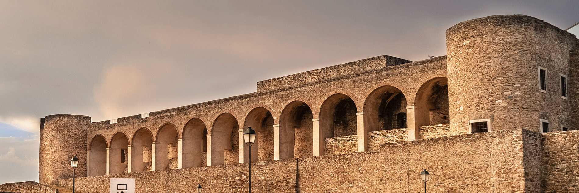
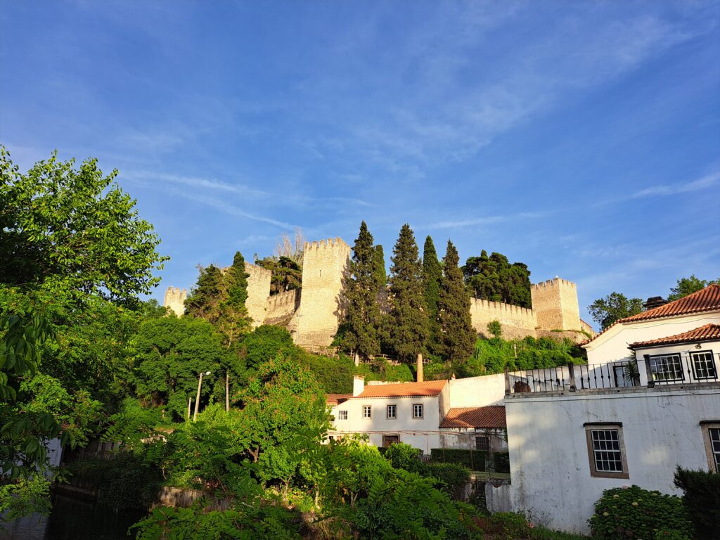
Abrantes Route
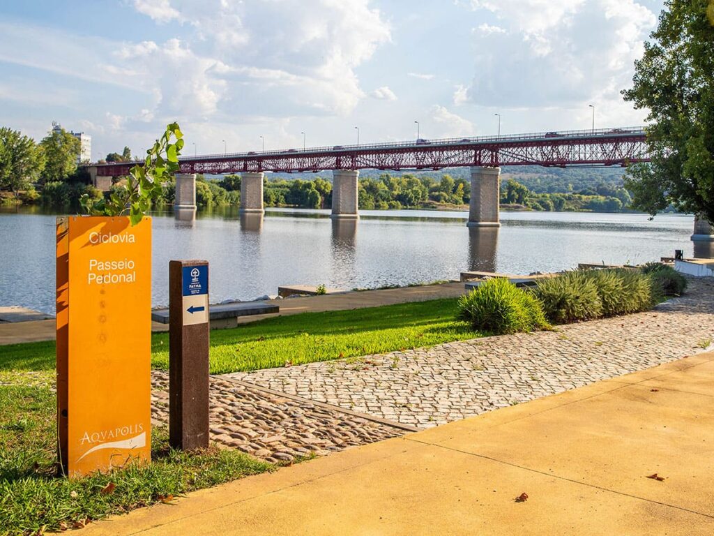
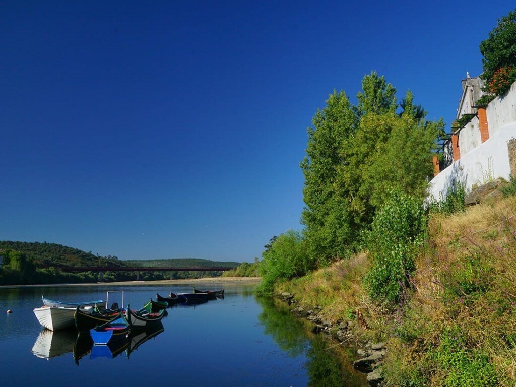
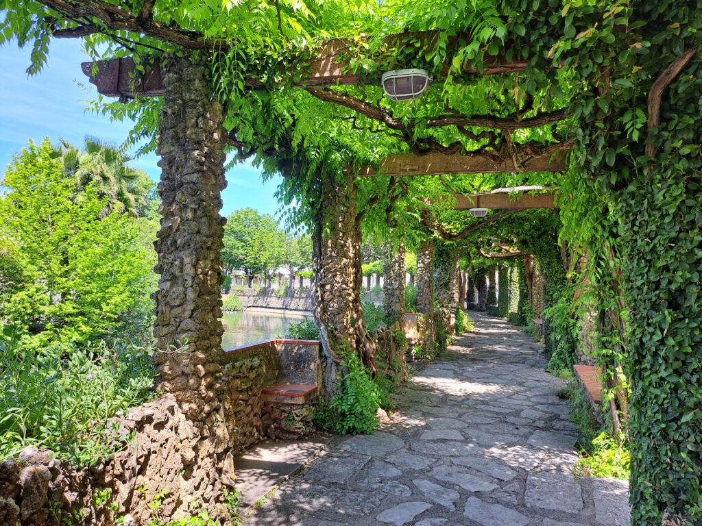
Médio Tejo RouteOver the course of five days, this route covers 91 kilometres through the municipalities of Abrantes, Constância, Vila Nova da Barquinha, Entroncamento, Torres Novas, and Ourém. While it starts on the south bank of the River Tagus, much of the route takes in the plains of the north bank, passing through riverside towns, villages, and hamlets, where the shape of the landscape and the way of life are defined by the water. In the final part, the route heads inland, penetrating the Estremadura Limestone Massif through the Serra de Aire and its surroundings, until reaching the Sanctuary of Fátima. This route provides an insight into the historical and contemporary importance of the Tagus and its main tributary, the River Zêzere. As we advance, the river’s flow increases, revealing the memory of times when it was navigable and established itself as the great communication route between the Atlantic coast and the interior. The scenery is varied and the nature environment surprising. Historical heritage coexists with contemporary cultural and artistic creation. Tradition and innovation come together, perpetuating ancient knowledge. Religious festivities are key moments in the life of the communities and the culture of flavours is notably expressed in the varied and rich gastronomy.
Lista de Jornadas
Day [ 1 ]
[Casa Branca - Abrantes]
Day [ 2 ]
[Abrantes - Constância]
Day [ 3 ]
[Constância - Torres Novas]
Day [ 4 ]
[Torres Novas - Sanctuary of Fátima]