Sertã Route
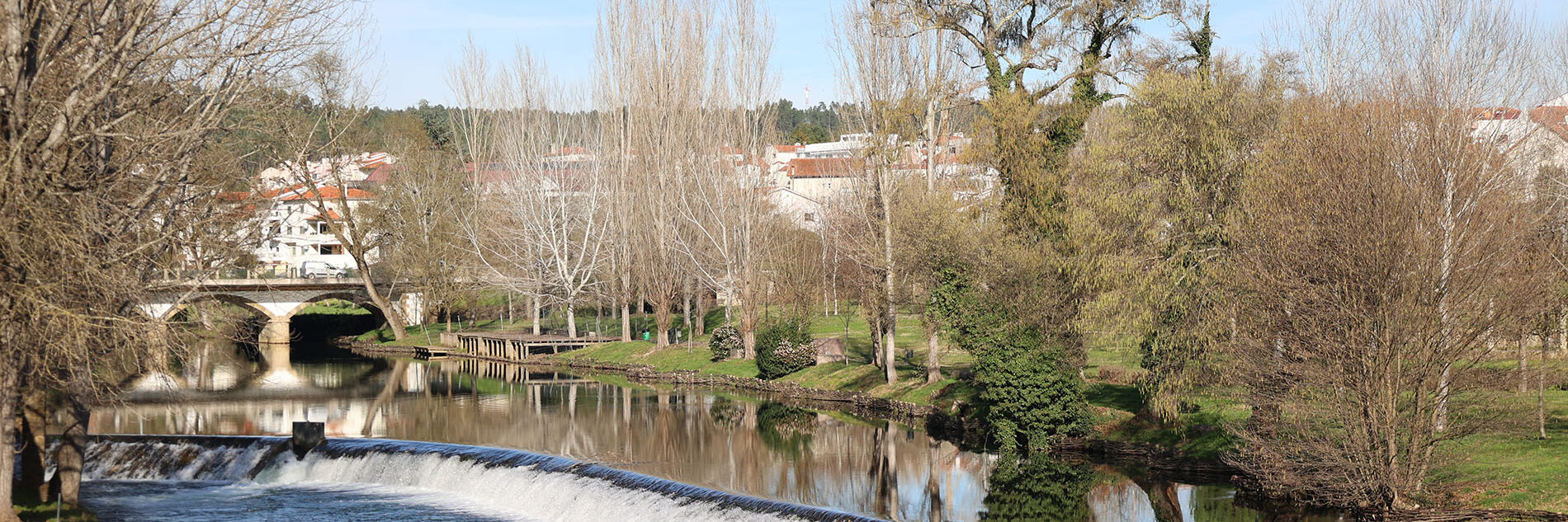
Médio Tejo RouteOver a period of five days, the route covers 98 kilometres, crossing the municipalities of Sertã, Ferreira do Zêzere, and Ourém, and following slopes, plains, mountains, and valleys that make up the landscape of the territory north of the Tagus, where rivers and streams flow into this great waterway. From the Serra de Alvelos at the start of the route to the Serra de Aire at the end, the landscape is beautiful, always marked by an inseparable relationship between stone and water. Sometimes the trees are dense, with patches of olive groves and maritime pine. The Zêzere Valley surprises visitors with the strong presence of water, the verdant scenery, and the pleasant river beaches along the way.
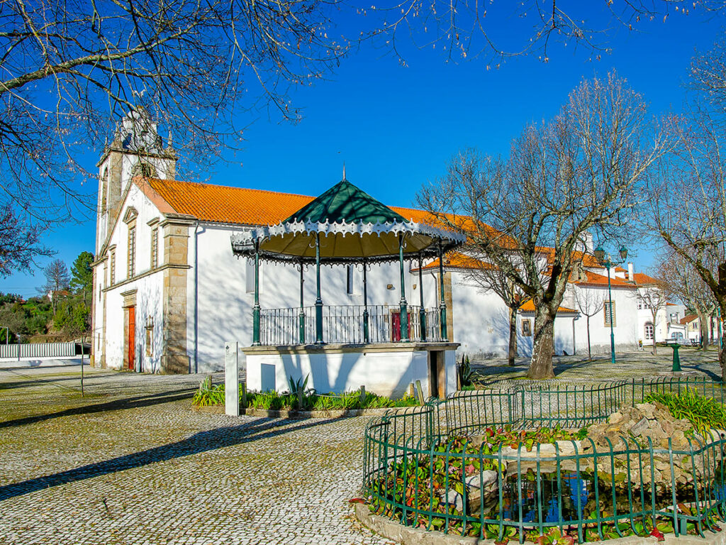
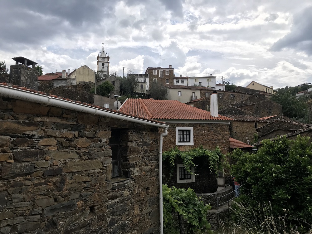
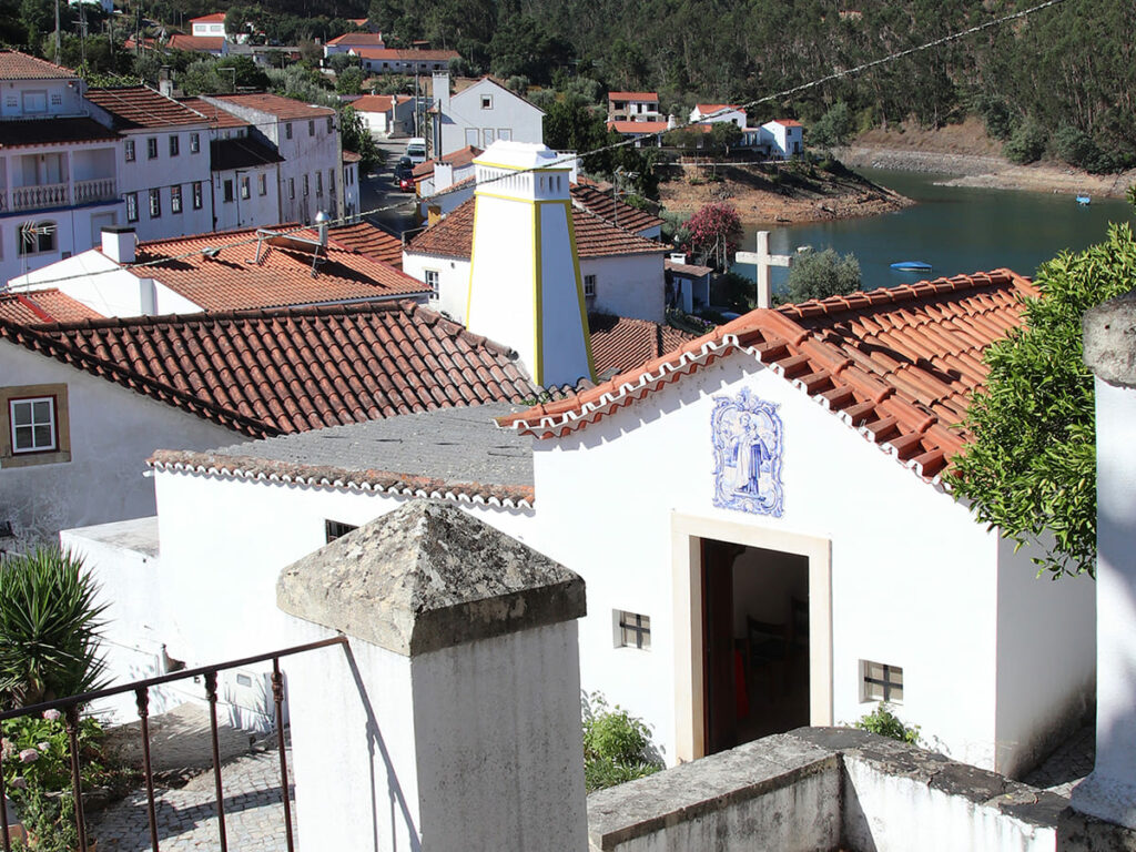
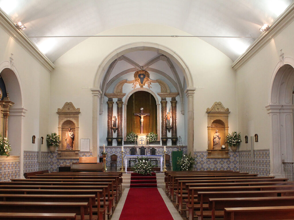
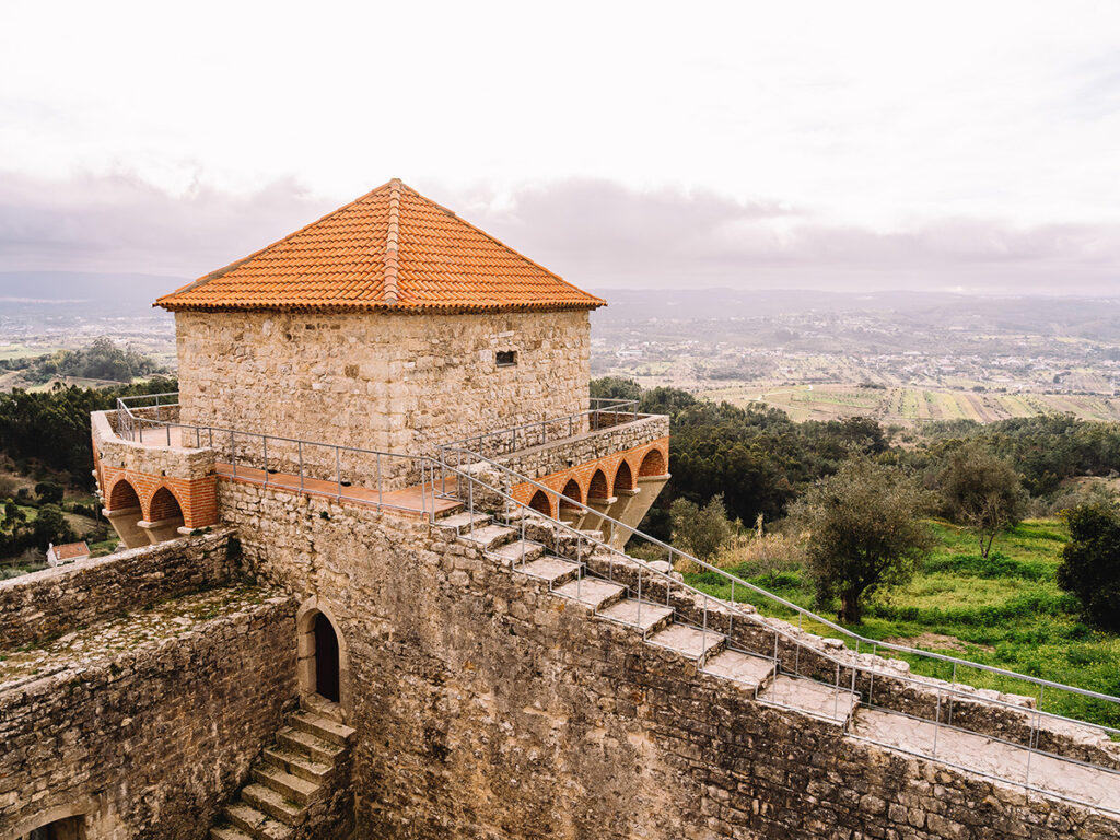
In its material and immaterial forms, local cultural heritage reflects the antiquity but also the quality of many artists and craftspeople who preserve and pass on knowledge, valuing traditions that are ever-renewed. Monuments, museums, and historic and traditional buildings and complexes make up harmonious urban settlements and small villages along the way or on the horizon. The tasty and varied gastronomy expresses ingenuity and art in the use of local resources. Religiosity is evident in the churches, chapels, wayside crosses, and shrines, but also in the festivities and rituals of a welcoming local populace.
Lista de Jornadas
Day [ 1 ]
[Troviscainho - Sertã ]
Day [ 2 ]
[Sertã - Dornes]
Day [ 3 ]
[Dornes - Areias]
Day [ 4 ]
[Areia - Seiça]
Day [ 5 ]
[Seiça - Sanctuary of Fátima]