Through the Ancient Lands of the Cistercian Monks
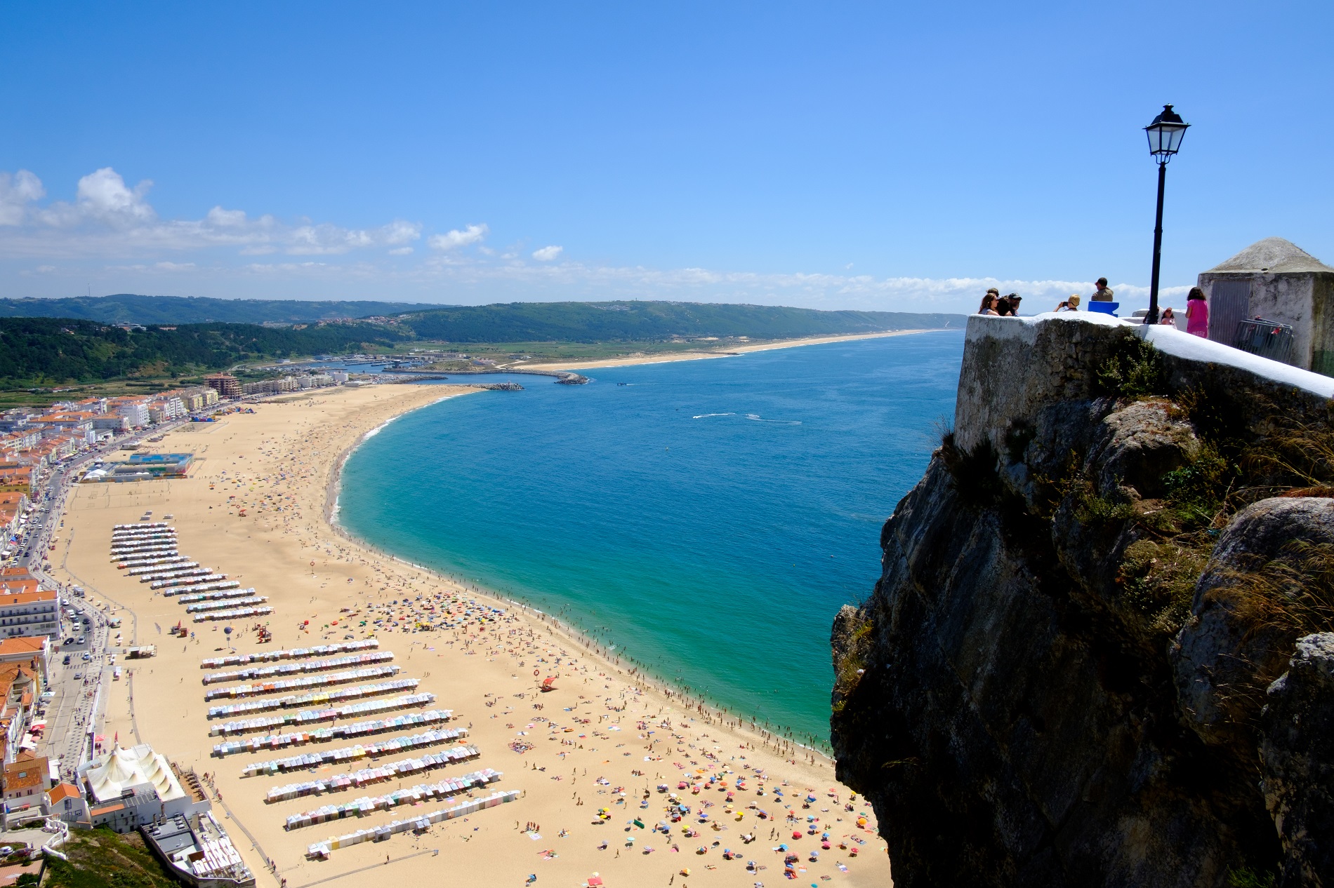
[Nazaré - Pedreiras]Between Sítio da Nazaré, framed by the sea, and the village of Pedreiras with its mountain backdrop, this 24 km route can be travelled over the course of a day, making short stops in welcoming villages, enjoying the landscape, and getting to know an amazing cultural and natural heritage. This Route is of medium difficulty.
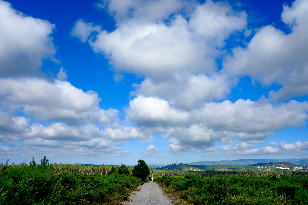
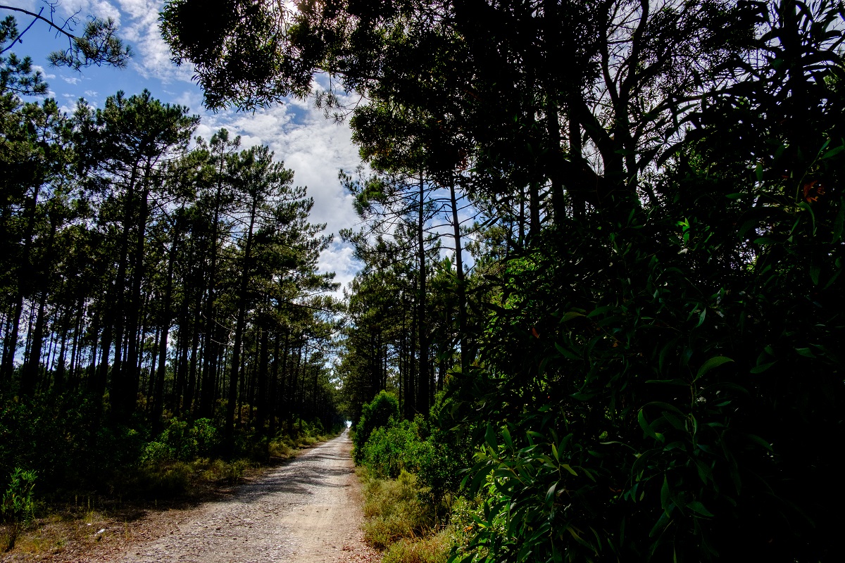
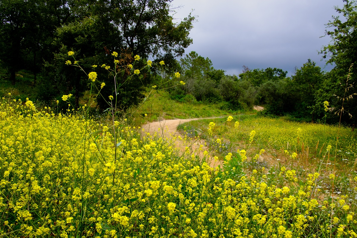
The Route passes through the municipalities of Nazaré, Alcobaça and Porto de Mós, crossing the lands that the Cistercian monks cleared and began to populate from the late 12th century and which were part of the historic Coutos de Alcobaça, a territory administered by the monastery. Areas of pine forest on sandy soil alternate with the fertile, alluvial agricultural fields of Valado dos Frades and Maiorga, where villages and towns emerge from the prosperous rural parishes.
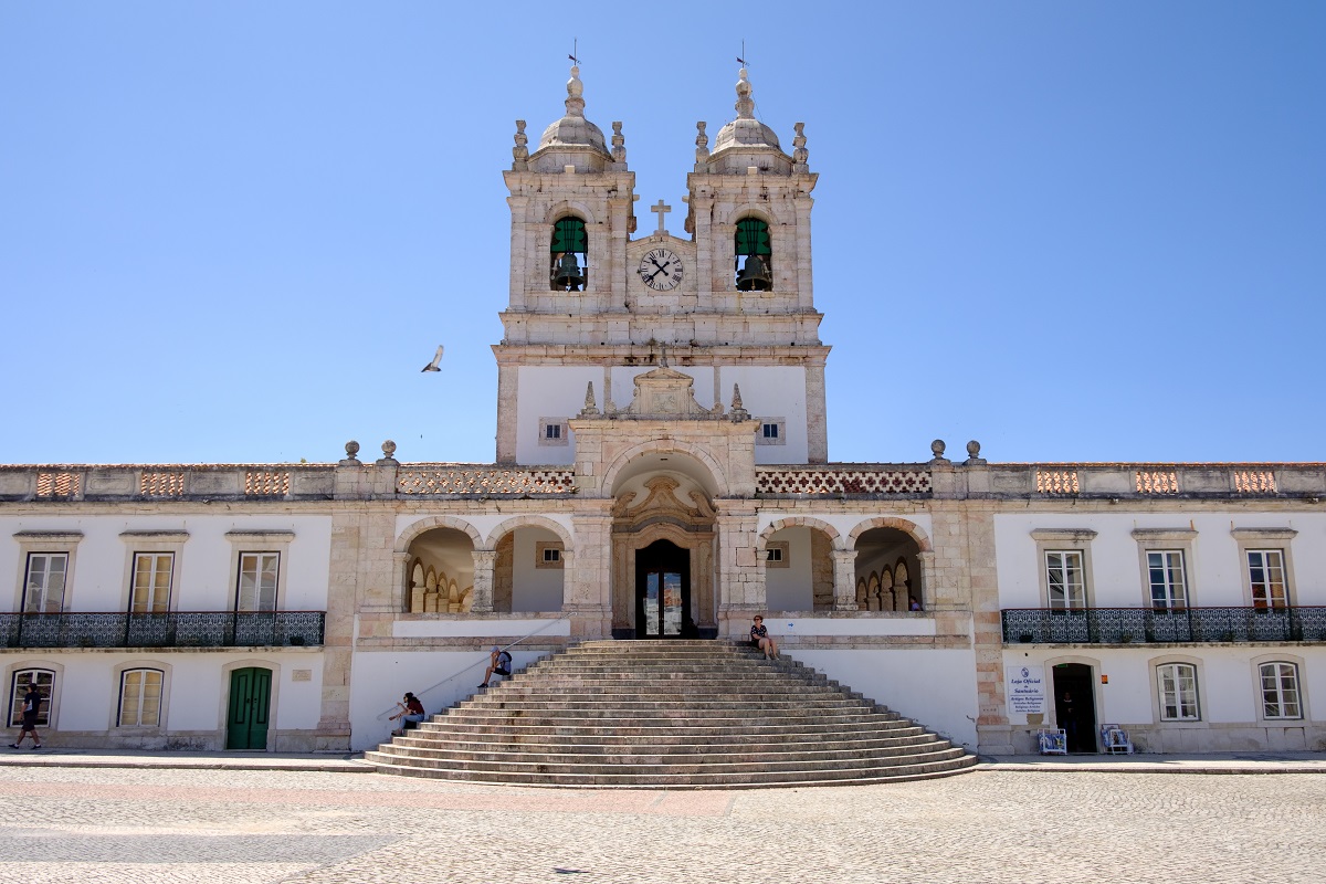
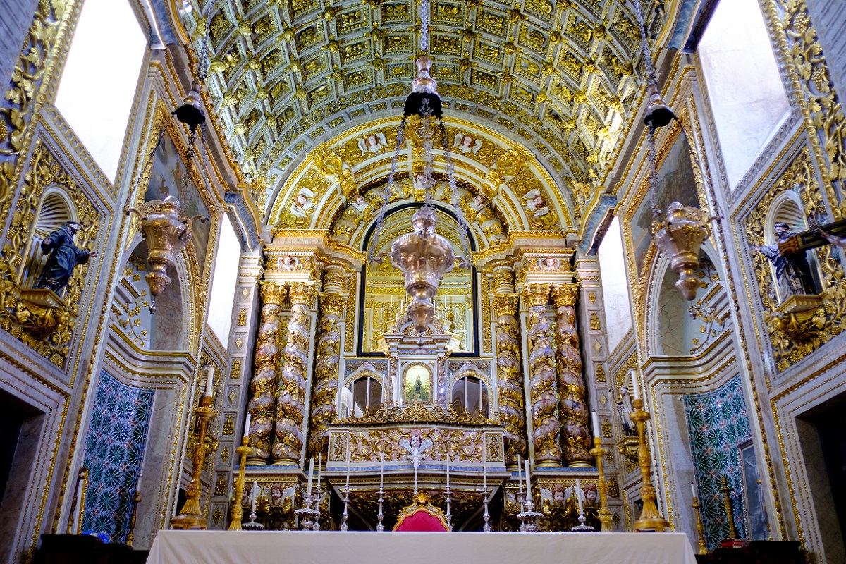
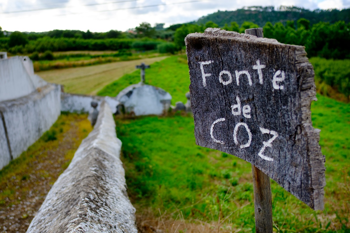
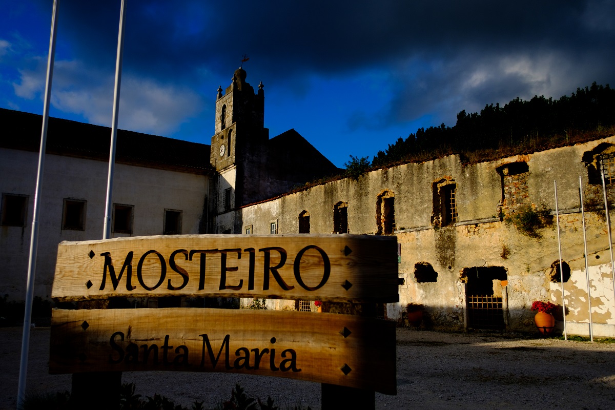
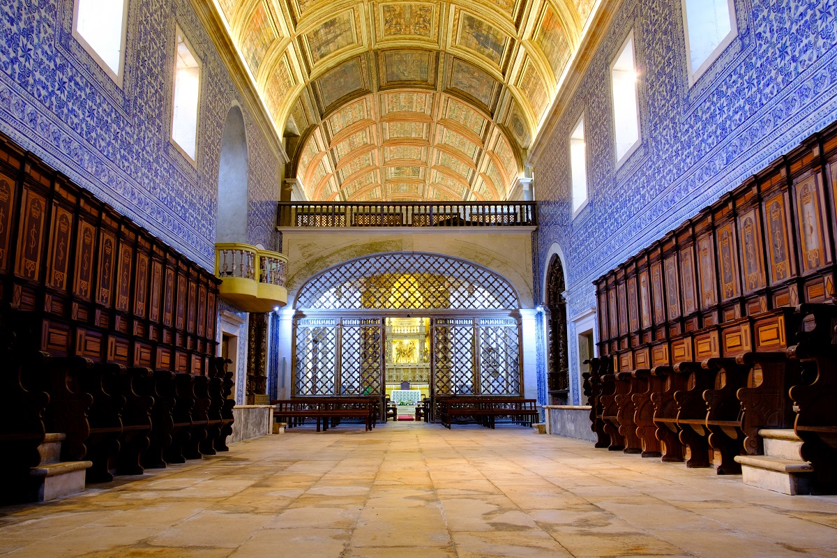
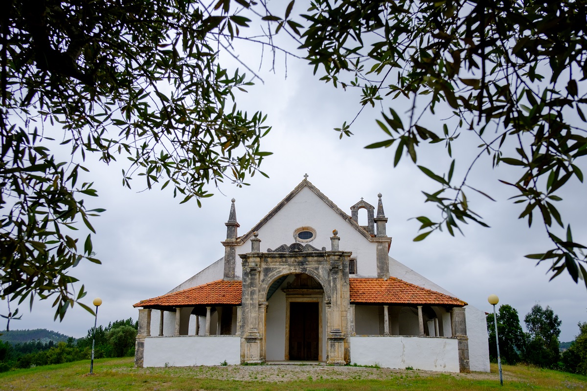
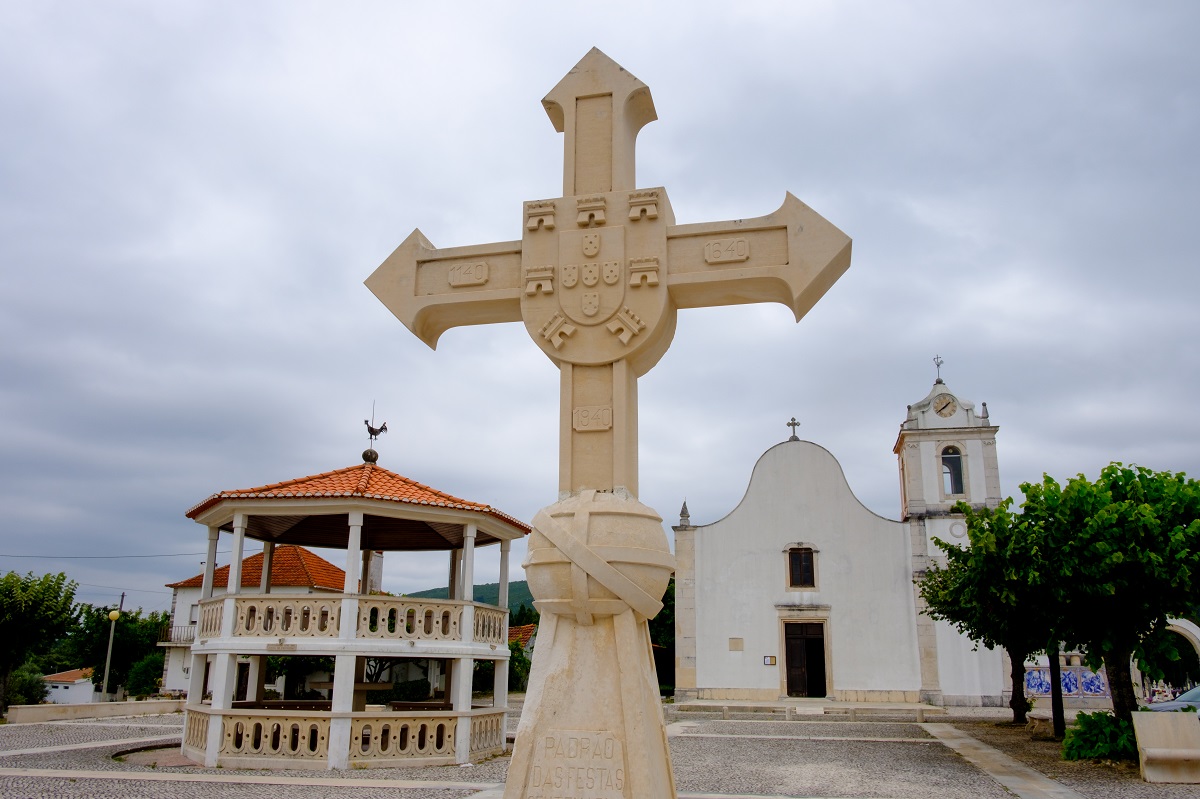
The fauna and flora are varied, with seabirds in the area of Atlantic influence and the varied fruits from the productive floodplains, fed by rivers and streams. In terms of built heritage, at the beginning of the Route we find the monumental complex formed by the Ermida da Memória (Memory Hermitage) and the Church and Sanctuary of our Lady of Nazaré. Along the way we find the Monastery of Santa Maria in Cós and the Sanctuary of Our Lady of Luz in Castanheira. Small hermitages can also be observed in the distance.